


News
Monday, November 20, 2023
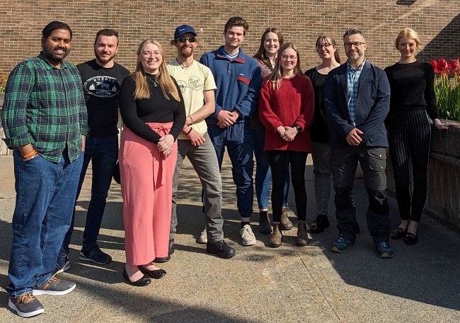
Eight ocean mapping students spent last summer learning to process and evaluate Satellite-Derived Bathymetry data that was contributed to the global initiative to map the world’s oceans by 2030.
These unique internships for six undergraduate students and two master’s students were provided at the Marine Institute for the first time by TCarta, a Colorado-based global provider of hydrospatial services.
The Marine Institute partnered with TCarta to provide students with opportunities to expand their ocean mapping skills, gain experience with specialized software and learn how to evaluate and process data collected by satellites and advanced sensor systems.
TCarta is a provider of hydrospatial products and Earth observation analysis services, and supplies Satellite-Derived Bathymetry (SDB) data for near-shore areas around the globe.
A brief video featuring the eight summer students will be posted on MI’s Instagram account: https://www.instagram.com/marine.institute/reels/
‘Creating novel products’
Remy Ouellet, a master’s of applied ocean technology student, wanted to acquire more data processing experience – particularly in the new field of SDB.
He says the high-resolution satellite images enabled the mappers to clearly see seagrass meadows, mangrove forests, lagoons and coral reef crests.
“A highlight of the internship was the idea of creating novel data products with real-world applications. SDB is a relatively new science with immense capabilities.
“The ability of a small team to map the entire coastline of a large country, such as Madagascar, in several weeks has huge implications for the future of coastal mapping and global endeavours like the Seabed 2030 project. It has been a pleasure and an honour to work towards such a noble cause.”
‘Wealth of knowledge’
Third-year ocean-mapping student Kaitlyn Power says she gained a “wealth of knowledge” from the internship about the hydrographic industry.
“During the second year of my ocean mapping program, I completed a remote sensing course which led to a keen interest in Satellite-Derived Bathymetry.”
Remote sensing technology and satellite imagery are used to map the sea floor, particularly shallow and near-shore waters around islands and continents.
“My favourite part of the internship was working on shallow-water areas around the world, such as South Pacific island of New Hanover, which is not possible to map using a vessel and traditional mapping equipment due to its shallow water. Remote sensing techniques, such as SDB, make it possible to map the seafloor around New Hanover.”
Continuing relationship
Paul Elliott, instructor and Academic Director of the Master of Ocean Technology (Ocean Mapping) program, says four additional internships for master’s students continue this fall and winter.
“The working relationship between MI and TCarta represents an excellent example of linking the knowing with the doing. Students are applying the knowledge and skills learned from their master’s program within a real-world situational context, and students are also making the connection that what they’re learning in the classroom is what they will be expected to know in the workplace.
“The goal of our graduate program has always been to make the curriculum relevant, current, immersive and student-centred. The strong working relationship established with TCarta is a great example of this and we will continue to build upon it moving forward.”
TCarta contributed the bathymetric data compiled during the summer to The Nippon Foundation-GEBCO Seabed 2030 Project. SDB data sets for the entire coastline of Madagascar, the island of Newfoundland and two Canadian Arctic research areas were donated to Seabed 2030.
The Marine Institute is also partnered in the global project to map the world’s oceans by 2030 and compile all bathymetric data into the freely available GEBCO Ocean Map.
Bathymetry measures water depth in oceans, rivers or lakes, and these measurements help to produce topographic maps of underwater terrain.